Drone-as-a-Service (DaaS): Your Eyes in the Sky, Your Edge on the Ground
Intro
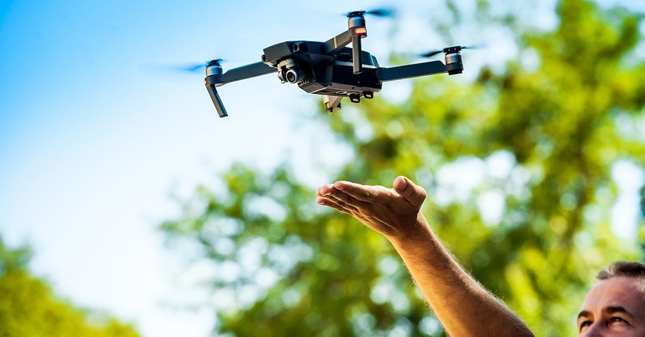
Data is power—but collecting it safely, quickly, and accurately is the real challenge. That’s where Drone-as-a-Service (DaaS) from PANITOS steps in. Whether you’re monitoring crops, inspecting infrastructure, or surveying disaster zones, our drones deliver the insight you need—faster, safer, and more efficiently than traditional methods.
DaaS is not just a technological upgrade—it’s a strategic tool for smarter decision-making across industries. With PANITOS, you’re not investing in equipment—you’re investing in actionable aerial intelligence.
What is DaaS?
Drone-as-a-Service is a turnkey aerial data solution. You don’t need to invest in costly hardware, licenses, or pilots. PANITOS offers the complete package: high-performance drones, certified pilots, customized flight missions, real-time data capture, and post-flight AI/ML analytics. Whether you need a one-time survey or ongoing aerial monitoring, our DaaS model scales to match your business goals, timelines, and terrain.
Industries We Serve
Agriculture
- Precision farming with crop health mapping
- NDVI analysis, irrigation optimization, and pest detection
- Farm-wide surveillance for improved yield and sustainability
Infrastructure & Construction
- High-accuracy topographic and progress surveys
- Structural health monitoring and thermal inspections
- 3D modeling and BIM integrations for smart planning
Mining
- Stockpile volume measurement and terrain modeling
- Environmental compliance and erosion monitoring
- Enhancing worker safety in hazardous zones
Urban Planning
- Smart city mapping and traffic flow visualization
- Asset inspection (bridges, towers, pipelines)
- Monitoring of encroachments and flood-prone areas
🚨 Disaster Management
- Pre- and post-disaster assessments
- Real-time aerial insights for emergency responders
- Damage analysis, rescue route mapping, and survivor tracking
Why PANITOS DaaS?
📊 AI-Powered Data Processing
Our drones don’t just collect data—they turn it into insights using AI, ML, and image-processing algorithms. This means faster, deeper understanding for smarter decisions.
✅ Hassle-Free Operations
From flight planning and permissions to reporting, we handle everything. You focus on the results—we’ll handle the skies.
🔄 Scalable, On-Demand Service
Whether you manage a single farm or oversee multiple construction sites, our flexible DaaS model grows with your needs.
🛰️ High-Endurance Drones
Our fleet features long-range drones with autonomous flight capabilities, advanced imaging systems, and weather-resistant builds.
Real-World Impact
PANITOS DaaS has already transformed workflows for agri-tech companies, smart city projects, and environmental agencies. By replacing outdated ground surveys and manual inspections, our clients have achieved:
- 5x faster project execution
- Up to 40% cost reduction
- Higher accuracy and operational safety
Conclusion
Drone-as-a-Service is revolutionizing how data is captured and used. At PANITOS, we’re helping businesses harness aerial intelligence to work smarter, respond faster, and lead the future of industry 4.0.
Ready to elevate your operations with PANITOS DaaS?
Contact Us today for a customized drone intelligence plan.